GPS, Total Stations & Theodolites
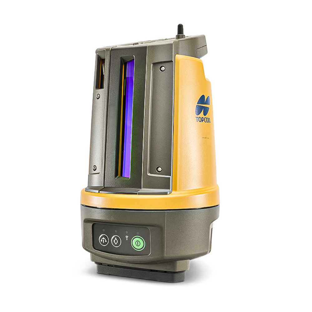
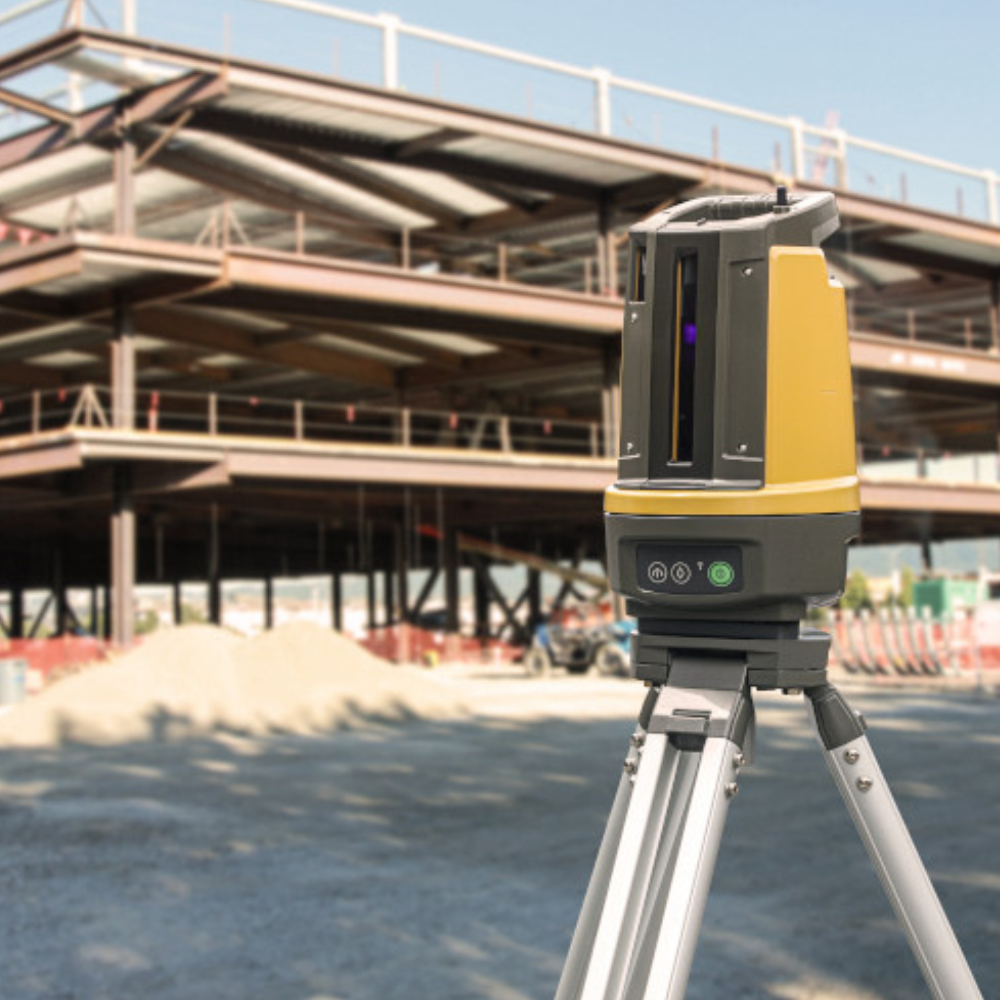
At Independent Surveying Supplies Ltd, our range includes digital theodolites, robotic total stations, GNSS receivers and data controllers from brands including Trimble, Topcon, Spectra and CHCNAV.
The collection covers everything from construction setting out and angle measurement through to robotic surveying, satellite positioning and field data collection.
- Featured
- Most relevant
- Best selling
- Alphabetically, A-Z
- Alphabetically, Z-A
- Price, low to high
- Price, high to low
- Date, old to new
- Date, new to old
Choosing Between a Theodolite, Total Station and GNSS Receiver
The first question is what you need the instrument to do.
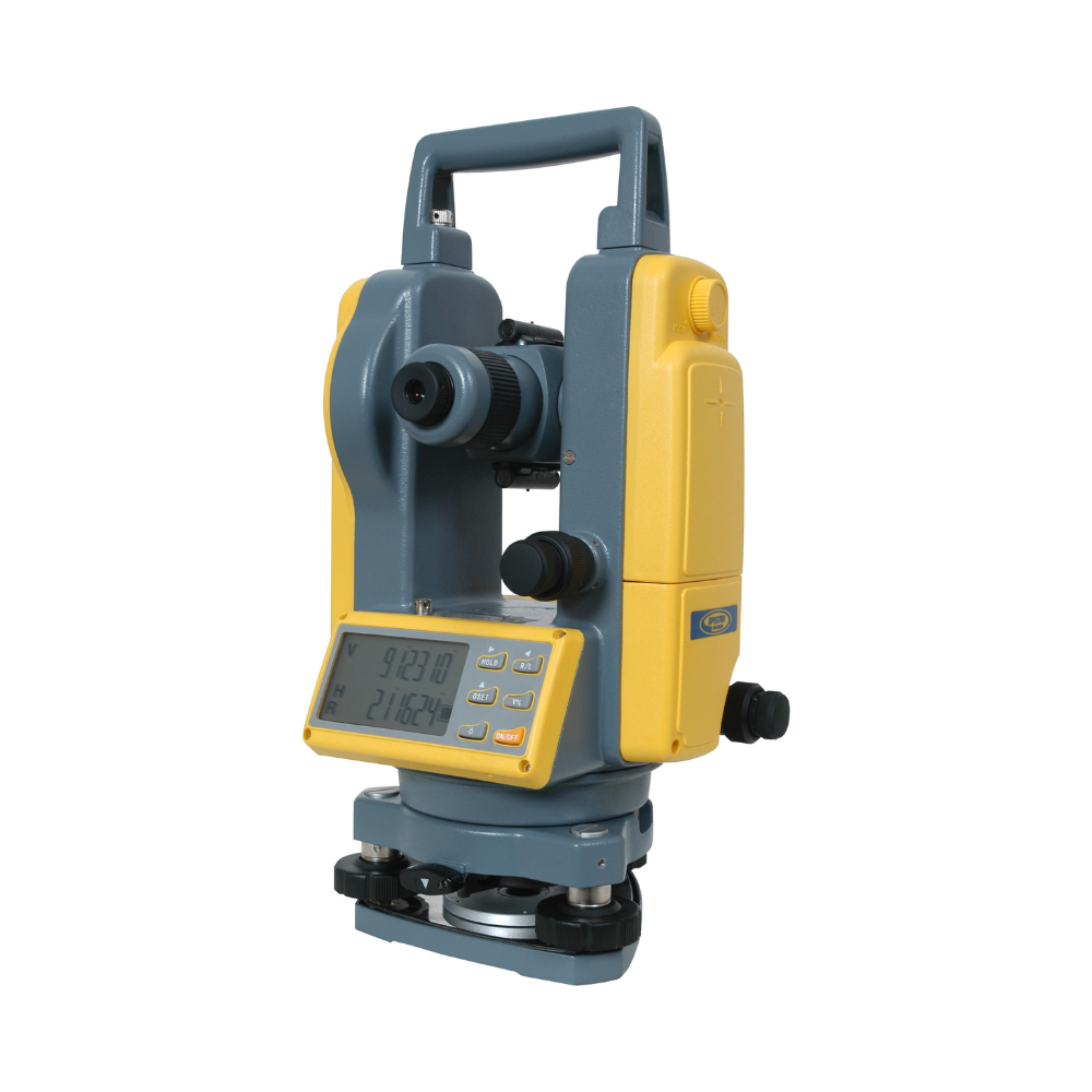
A digital theodolite is a practical choice for measuring horizontal and vertical angles, transferring lines and general construction setting out.
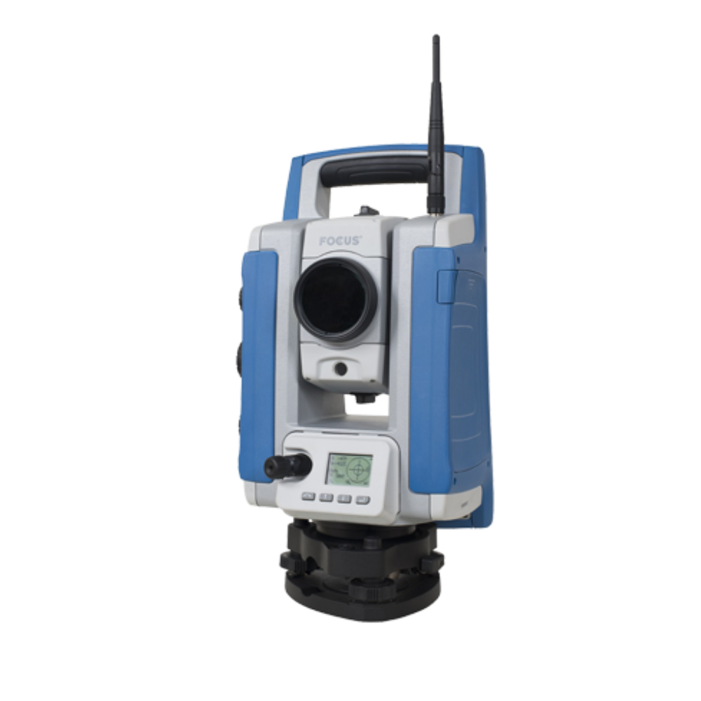
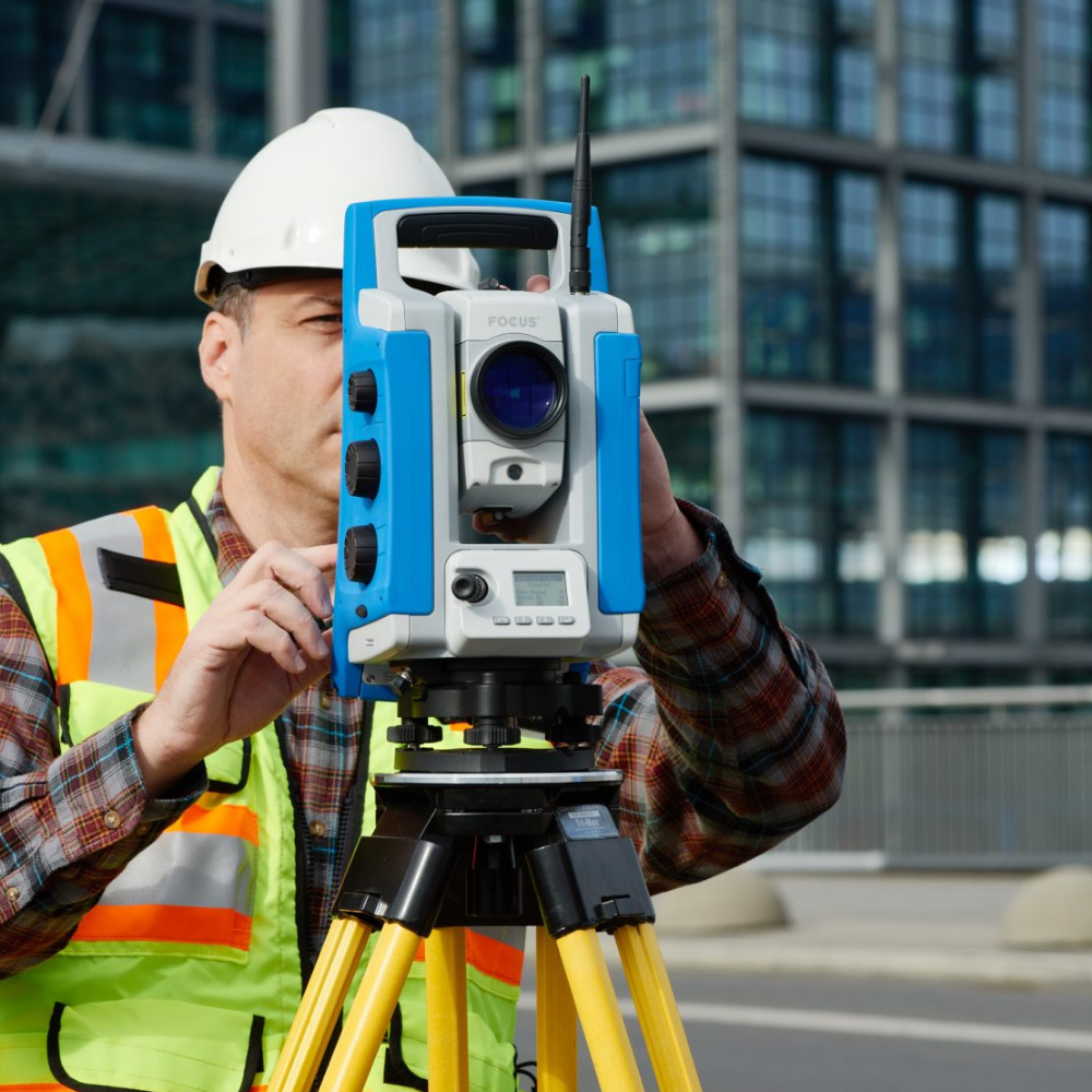
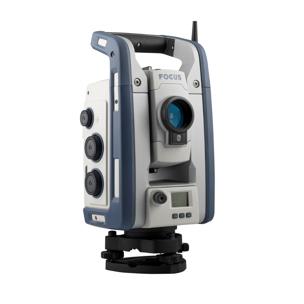
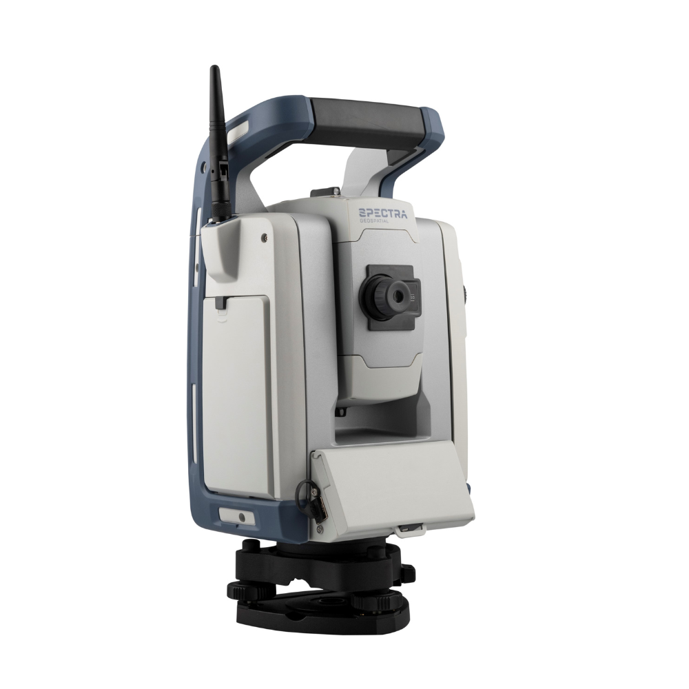
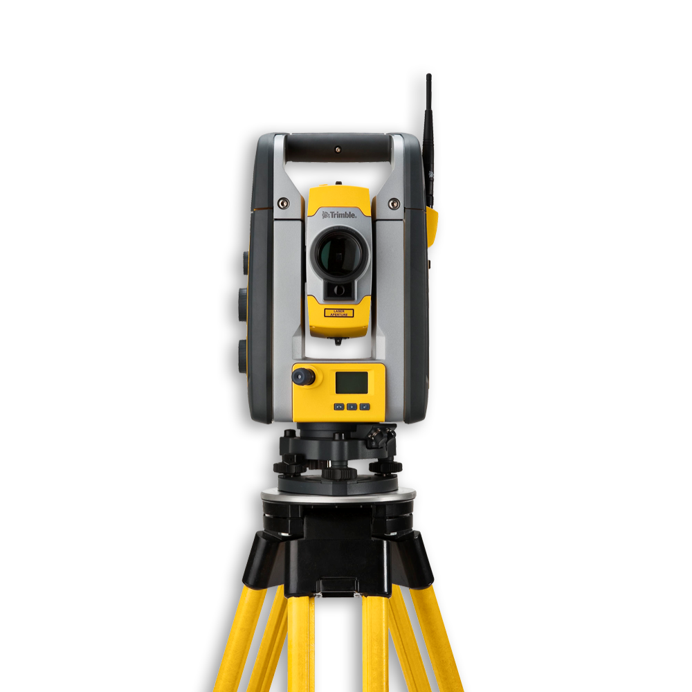
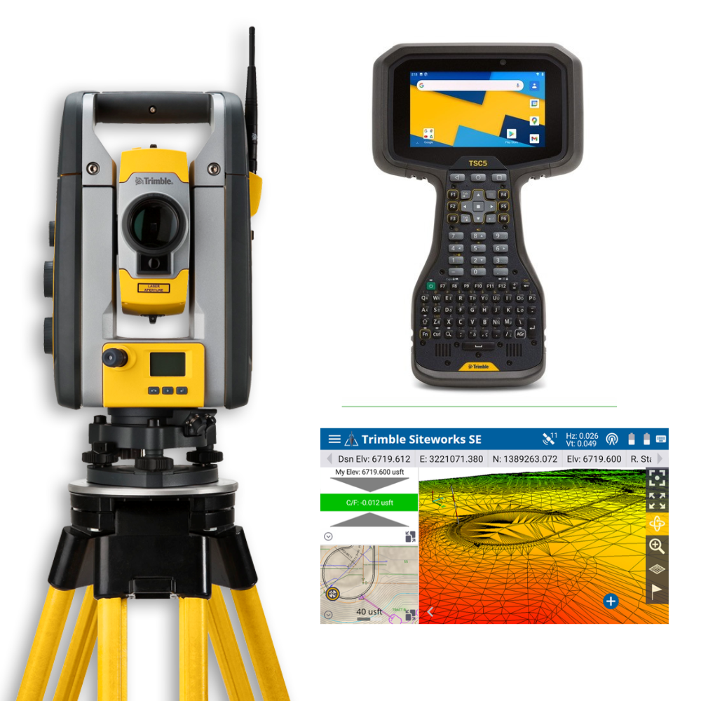
Total stations go further by combining angle and distance measurement to calculate coordinates and record survey data. Robotic total stations can also track a prism as you move around site, making single-person surveying possible on many jobs.
GNSS receivers work differently again, using satellite positioning rather than measuring between visible points. They are widely used for topographic surveys, site control, stakeout and larger areas where line of sight between survey points may be difficult.
If you are comparing systems, we would look at the required accuracy, working environment and how the data needs to fit into your existing surveying workflow.
Total Stations and Robotic Total Stations
When comparing total stations, angular accuracy and measurement range are two of the main specifications to check.
Electronic distance measurement may be available in both prism and reflectorless modes. Reflectorless measurement is useful where placing a prism is difficult or unsafe, while prism measurement generally supports longer working distances.
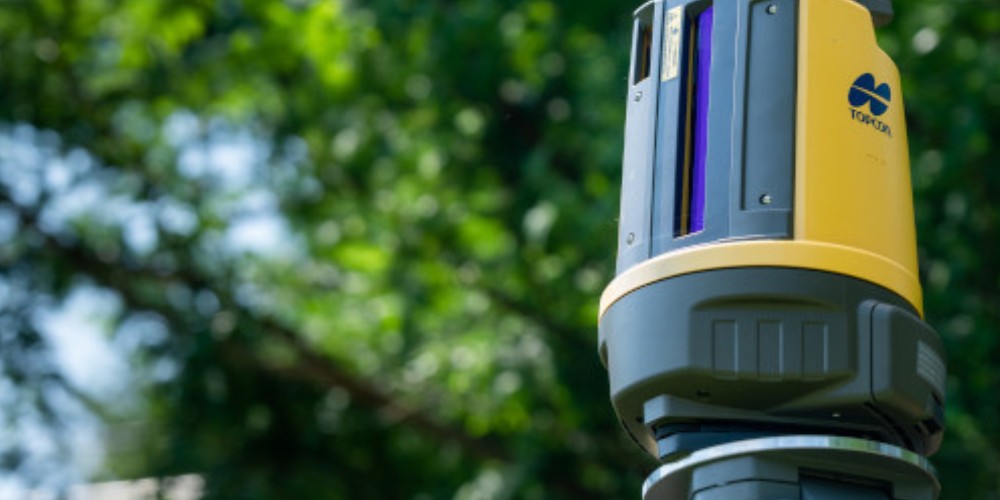
Robotic total stations add automated tracking and remote control. Depending on the model, you may also find imaging, scanning and live-view features that help with aiming, data capture and site documentation.
We would also check compatibility with your existing controller and field software before choosing an instrument, particularly if you are adding to an established setup.
GPS, RTK & GNSS Surveying Equipment
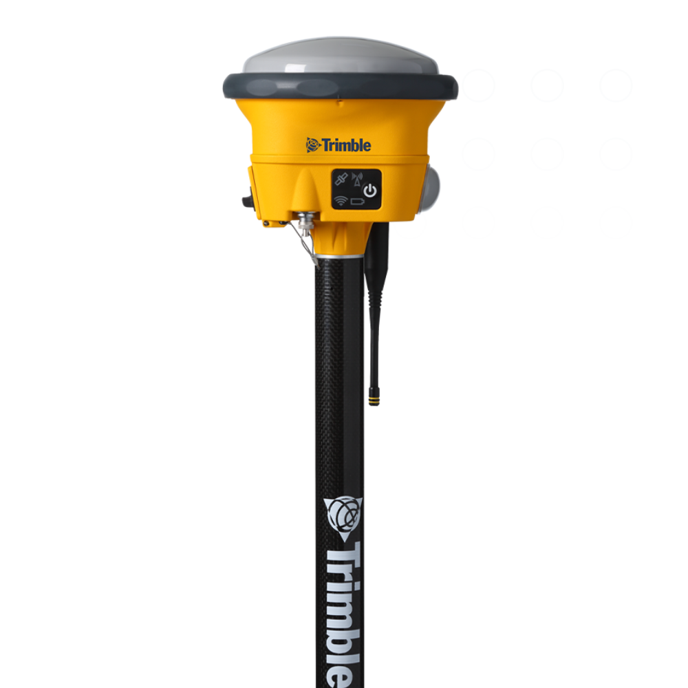
Modern survey-grade GNSS receivers can track several satellite constellations, including GPS, GLONASS, Galileo and BeiDou, giving access to more positioning signals across the site.
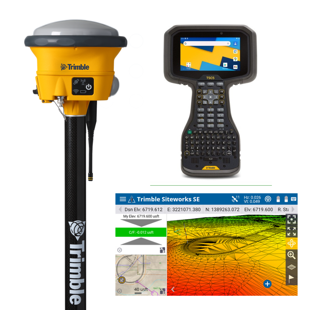
RTK systems use correction data from a base station or network service to provide high-accuracy positioning in real time. This makes them useful for setting out, topographic surveys, site control and other work where precise coordinates are needed quickly.
Many newer receivers also include IMU tilt compensation, allowing points to be measured without holding the survey pole perfectly vertical. This can make awkward locations such as building corners, fence lines and edges easier to capture.
Visual positioning and camera-assisted measurement are also becoming more common, helping surveyors collect points that are difficult to reach directly. If you are comparing GNSS systems, we would look at correction options, radio and mobile connectivity, tilt capability and compatibility with your existing field software.

Survey Controllers, Base Stations and Accessories
A good surveying setup depends on more than the main instrument.
Data controllers are used to manage jobs, enter codes, review measurements and transfer information between the field and office. Screen size, keyboard layout, battery life, storage and weather protection can all make a noticeable difference during a full day on site.
Base stations also play an important role in RTK surveying where local correction data is required. Compatibility between base and rover equipment, radios and software should be checked before ordering.
Our range also includes batteries, antennas, instrument cases and other supporting equipment. Browse the collection above, or speak to the Independent Surveying Supplies Ltd team if you need help comparing total stations, GNSS receivers, theodolites, RTK systems or compatible accessories.